Sunday, March 11, 2012

Birds Nest Lecture


Not everything hibernates in wintertime! In these cold months, Hirundo has been hosting some exciting events.  On January 20th, Hirundo hosted its Bird Nest Architecture lecture presented by Jerry Longcore. The presentation drew 23 attendees, despite the University of Maine ice hockey game against Boston College (a big deal in town). UMaine won the game, of course.


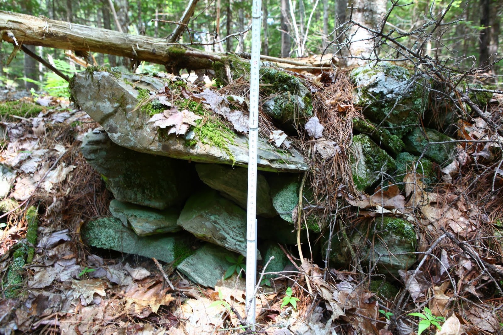
Longcore spoke about the different levels birds built nests at, the shape and materials used.  He began from the ground up, thus showing pictures of ground nesting birds, such as the woodcock, ducks, and took us through brambles, offered peaks into the enclosed areas of cavity nesters (chickadee, owls) up to the lofty heights osprey and eagles nest.

Generally, raptures reuse their nest, which are generally built with sticks and branches, interwoven with less stable materials such as moss, rootlets, and mud. Many songbirds, because of the nature of their fragile building materials (thin layers of birch bark, grass, and pine needles) build new nests every year. Longcore also drew our attention to the different colors and markings on the eggs, noting that the eggs of birds who nest in open areas are never white but instead mottled unlike the white/light colored eggs of cavity nesters.

Of course, for more info go to: http://www.sialis.org/nests.htm

Along with watching hockey, drinking hot cocoa and going skiing, winter is a great time to see nests in bushes and trees. So next time you go out look up into the tallest pine tree or in the shrub along the trail and examine the variety of nest constructions!

On a special note, please be advised that the Migratory Bird Treaty Act makes it unlawful to pursue, hunt, take, capture, kill or sell birds or collect bird nest of the species listed


We are happy to see such a great interest in their Winter Ecology Series and invites all their fans and local visitors to come out and support, learn and enjoy the Hirundo Wildlife Refuge.

As always, look to our facebook page, and our main website for more info on upcoming events!

Sunday, June 19, 2011

Hirundo Stone Structures

During the final days of our field session at Hirundo, we were informed by Fred the caretaker of some curious stone piles on the property. Stone piles in the area are not that uncommon considering the past glacial activity throughout central Maine. However, at first glance, Fred's structures were unquestionably man made.


Over the course of the day we recorded and measured 18 stone structures. Many of them have a 2 meter diameter and are half a meter in height. A few of the structures have obvious courses and were finely made.

The question remains though, when were they constructed and for what purpose? Man made stone structures are extremely common in the North East and were made for a variety of purposes. In many cases, they were simply the end result of early Colonial farmers or loggers clearing away cobbles from their work spaces. Other examples include stone walls as property markers and livestock pens. Some prehistoric stone structures have been recorded in the area, but their significance is more ambiguous. Some ethnographic evidence associates them with adolescent coming of age rights, perhaps similar to visionquest structures found in the Rocky Mountains.


If these were prehistoric, we hoped to find some additional evidence such as ground or chipped stone artifacts. We sunk numerous test holes throughout the site and found nothing. Thus, the story behind the structures remains inconclusive and to be solved next time around!

Tuesday, June 7, 2011

Canoe Excursion


The weather was fabulous on Saturday, so what better to do than load up some canoes and go exploring down Pushaw Stream? With family and friends in town for my big talk that night, we set off on our great adventure.

Jon was the Captain of our Canoe

 Of course, we took the necessary saftey precautions. I was drawn to such a stylish life vest, despite the snugness of the fit. 

Since a life vest that size can only produce 7 lbs of force, supporting a person of 30-50lbs we figured in the event of an emergency I could always synchronize swim myself down the river to saftey.

We paddled from Gate 3 (June's House) a short ways downstream to the Twin's Nest. Twin's Nest, the original site of Hirundo, used to be a small camp that my great-grandparents lived in. A collection of cabins and a great fishing spot  meant that my mom and her cousins had spent most of the summers here. Her uncle, Oliver Larouche, began to buy properties around this plot and with the joint trust of the University of Maine, created the Hirundo Wildlife Refuge.

Boats on the shore of the Twins Nest
 We got back in the canoes with Matt up front and our friend Jon in back, and me with the best job: Lie in the middle and take photographs. I felt like Pocahontas or Cleopatra and sometimes both!
View from my seat
 We noticed that alot of the riverbank is thick marshy scrub in which would be incredibly difficult to search for possible sites, particularly so early in the season. Other parts of the river however, looked promising, with some raised wooded areas above the anual flood line.

Cousin Rebecca (front) and mom (back) pointing out beaver lodge
The Wildlife was plentiful, and we saw a variety of birds and waterfowl. We saw a number of large beaver lodges, however no beaver or muskrat.  As the boys were hard at work, towing me around, I set to work perfecting my photography skills (I had to get a training course from our regular photographer Matt first). 


Ok, so Matt played with the colors on his computer a little bit.


Our "Action shot"
This photo perfectly captures the day, perfectly relaxing for me in the middle.  I offered to trade with the boys when they got tired, but neither took me up on that.


 After a great morning of canoeing, we headed back to the shelter to set up for our evening talk.

Sunday, June 5, 2011

Rebecca Sgouros & Dr. David Sanger's Public Lecture

Last night was the long awaited talk! For the last few weeks Rebecca and Dr. David Sanger of the University of Maine prepped a joint presentation on the prehistory, paleoenvironment, and geoarchaeology of the Penobscot River Valley in central Maine.

Step 1 was the transformation of our humble Hirundo shelter into a presentation hall. After some cleaning, rearranging, and spit-shining we were able to muster enough room to hold about 30 spectators. The trash can holding the rotting moose hide was too heavy to lift (moose skin weighs a lot!), so we left it in the parking lot and hoped it wouldn't frighten prospective attendees.

Step 2 was coaxing the generator to pump out enough juice to power lights, heat, computers, and a digital projector. This, fortunately, was a piece of cake.

Once the crowds arrived, the main event and speakers were introduced by Hirundo board member Stephanie Larouche.

The talk itself was broken up into two portions: Paleoenvironmental & Geoarchaeological studies of the area (Rebecca), and the Hirundo Site excavations & prehistoric cultures (Dr. Sanger). Both talks complimented each other as both the local environment and its people have been quite dynamic since the first human occupations around 10,000 years BP (Before Present....or technically before 1950)


The presentations of last night put into perspective the survey work we have been doing the past few weeks. Rebecca noted that around the beginning of the Holocene (10,000ish years ago) the retreat of a continental glacier basically demolished the landscape of Maine. The glacial retreat not only left an incredible amount of debris, but also physically impacted the environment in the form of glacial depressions and the resulting crustal rebound. The combination of those geological processes formed a continuously waxing and waning marine environment that ultimately formed the marshes and bogs of modern day.

Just as this impacts our work today, the ever changing landscape drastically influenced the subsistence and living patterns of prehistoric communities. The altering environment stipulated the availability of food sources as well as hospitable living areas.


After Rebecca discussed the changes in the physical environment, Dr. David Sanger focused on the prehistoric occupation, and modern excavation, of a specific site. The Hirundo site, located on the Hirundo refuge was first occupied around 7500 BP and excavated in the 1970's by the University of Maine. Sanger provided a great tutorial on how the site was excavated as well as the light it shed on the prehistory of the Penobscot valley. After the show he provided a show and tell of many artifacts from the site, how they were used by prehistoric people, and what they tell archaeologists. Overall the talk was absolutely fantastic and will hopefully be the first of many to come!

Thursday, June 2, 2011

Survey!: Terrestrial and Aquatic Approaches

Our mission to discover more sites on Hirundo began at the University. While Matt was photographing some artifacts to use in our upcoming Hirundo archaeology webpage, I went off into the slide archive room to do a survey of the past..excavations (See our previous blog post "The First Excavations: A Photo-history" for some of the slides). I collected some useful slides of artifacts, the excavations and some neat graphic slides to incorporate into my talk on Saturday (yes, another shameless publicity plug!)


After a long day at the University working on this stuff, we were pretty ready to head into the field. Wait, field is the wrong word. Forest? Not forest. Jungle. Maine Jungle. We went out, exploring off and on the trails with particular interest in several rock piles and mounds that Fred Bryant, Hirundo's caretaker has noticed while going about the grounds.

Through the intensely thick ground cover, it was proving quite difficult to find anything. So we headed to the coast. The river coast is usually better, as the river flow erodes the shoreline exposing buried material. We trekked up and down the riverbank as best we could, considering the muddy May weather. 
Matt searching for flakes
Another day of searching the riverbank area, and we managed to identify a handful of flakes, most of them on the bank right next to the original Hirundo site.


Rebecca working on her powerpoint presentation
Tuesday we decided to take a different approach.  Survey by Paddleboat!! No, we didn't actually use it to survey. But, we enjoyed the morning paddling around Lac d'Or, the man-made lake just outside the shelter.


Our paddleboat excursion inspired us! Survey the property by water. The Hirundo Refuge extends way down Pushaw Stream to the Lake and includes many unexplored river banks. Since this Maine Jungle is SO thick, and much of our land-access to the rivers edge is blocked by thick bog and marshland, the only feasible way is to go by boat! 

Considering the terrain we're dealing with, we'll be taking a amphibious duck boat. Like they used in WWII. The same ones they give all-terrain tours of Boston in. 

Actually, considering both financial and time constraints, we'll probably be using one of those. Hirundo is equipped with a number of canoes and kayaks, perfect for our aquatic survey mission.

Next Step: Wait for better weather to deploy our mission. 

Sunday, May 29, 2011

The First Excavations: a photo-history

The archives at UMaine, Orono contained hundreds of slides chronicling the Hirundo Excavations, as well as each site form and report written by the excavators. It was an exciting look at all the work done on the refuge. 
 Pushaw Stream 

Aerial view of Hirundo
The archaeological excavations were initiated as a summer field school from 1971 to 1975. 

David Sanger (Left) and Bob MacKay (Right)


The excavations were run by Robert MacKay and David Sanger with extensive collaboration with a number of other disciplines including geology and paleoecology. The site was first discovered when a neighbor noticed fire-cracked rock and some stone artifacts in the eroding bedrock.

Hirundo excavations in process

The Hirundo site is expansive and covers 250 m of river bank. Dating of the site indicates 7,000 years of occupation.
The Fieldschool Crew
Hirundo Wildlife Refuge's Founder Oliver Larouche
reading next to the trenches. 
MacKay with student


Water sieving
Students excavating through the thick forest groundcover
(Photos courtesy of University of Maine, Orono)


Saturday, May 28, 2011

University of Maine Photography Session

Yesterday we spent the entire day in the basement of the University of Maine's Anthropology/Folklore building. This place is more or less my dream playground equipped with labs, mechanized photo stations, a flint-knapping room, and a repository (aka The Cave) that holds the majority of Maine's artifacts. We had two goals for our work yesterday.

1) Photograph artifacts that were recovered from the Hirundo excavations and represent the cultural chronology of the site.

2) Sort through and scan slides from the original Hirudno excavations and field schools in the 1970's.

The photos we took and scanned will be used for an upcoming Hirundo Archaeology webpage and public lectures (i.e. Rebecca's a week from today!)

Here are some examples of artifact photos:


Ground Felsite Plummet, Archaic (9000-3000 BP)
Though the true purpose of these items remains uncertain, it is
hypothesized that they were used as weights for fishing.


Felsite Projectile Point, Middle Archaic

Chert Projectile Point, Late Archaic

 Ground Slate Projectile Point, Early-Middle Archaic

The early-mid Archaic period in Maine is partially complexing as chipped stone artifacts became vastly replaced by ground stone technology. In other words, people make tools by grinding instead of chipping. As soon as it came into place, ground stone technology suddenly transitioned back to chipped stone towards the end of the Archaic era. Some archaeologists argue a change in population caused a change in technology, others suggest the transition was merely a fad among a single culture. 

Ground Slate Celt, Archaic
Axe Head or Chopping Tool (perhaps hafted to wood handle)

The chipped/groundstone technology change marks a large question mark across the spectrum of archaeology. What exactly does the transition mean? Does it suggest the incursion of a new population? Or, does it represent technology changing as it does today? Take for example computers: if an archaeologist identified 21st century humans by their computer preference we would mostly be broken up by Mac and PC users. Can you say that different computers identify unique cultural groups? Depending on what questions you are asking, it could be completely legitimate or absolutely inaccurate.